



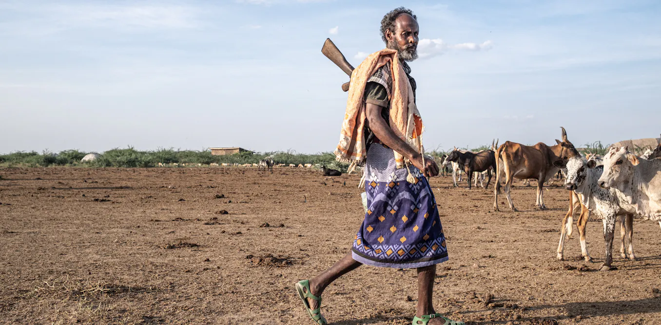

At the 17th Conference of the Parties to the United Nations Convention to Combat Desertification, held in Ulaanbaatar, Mongolia, in August, rangelands and pastoralists gained rare visibility.
But according to Sougueh Cheik, a researcher in soil science and agro-pedology who has studied land degradation and soil restoration in arid and semi-arid environments, increased funding alone will not ensure effective restoration.
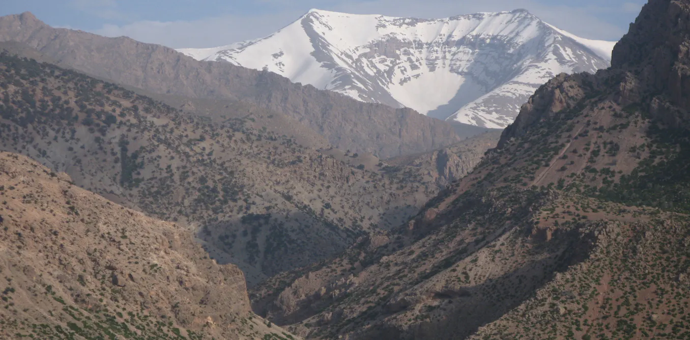
Rangelands—natural or semi-natural grazing areas—cover 54% of the Earth’s land surface, support about two billion people, and are managed by some 500 million pastoralists.
In East Africa, they provide most of the forage for livestock systems, yet they receive less investment than forests relative to their economic value.
Cheik argues that a fundamental misunderstanding must first be cleared up: desertification does not mean the advance of a desert.
Rather, it is the loss of productivity of inhabited lands in dry areas due to various factors, including climate and land use.
Restoration policies are therefore never purely technical operations; they rest on a model of how ecosystems function, and that model determines their outcomes.
Une restauration qui dégrade
Cheik’s observations in the Hanlé plain in southern Djibouti illustrate the problem.
Around several water points, the invasive shrub Prosopis juliflora is forming dense thickets, encircling Vachellia tortilis acacias that provide shade and part of the herd’s forage. Ironically, this shrub was planted at large scale for reforestation and desertification control.
Thus, an ecological restoration solution can become a factor of degradation when the guiding model ignores how a pastoral system works. Cheik outlines three conditions that could prevent such mistakes from recurring in East Africa.
Le droit d’usage, condition de l’investissement
The first condition is land tenure. Pastoral restoration is unlikely to last when use rights remain uncertain.
The ability to treat invaded areas depends on recognizing those who hold usage rights. In Tanzania, where rangelands cover nearly three-quarters of the territory, village-by-village land-use planning made grazing across administrative boundaries difficult.
A program with the International Livestock Research Institute responded with two instruments: joint planning, where several villages together delimit shared areas, and collective certificates of customary occupancy rights issued to a herders’ association.
Four villages thus secured a common area of 30,000 hectares.
However, land security does not solve everything. A study published in Scientific Reports found no reduction in the progression of bare soil in areas under collective certificates.
These certificates delimit grazing areas without setting rules for conduct within them. Rangelands function through overlapping rights—an area grazed in the dry season by some and in the rainy season by others—and delimitation risks freezing these uses.
Un choix scientifique et politique
The second condition concerns what is measured. Work compiled by the Convention shows that herders respond to unstable forage resources by moving their herds.
Yet the same biomass data have been used to argue the opposite.
In the 1970s and 1980s, these data were interpreted through the notion of carrying capacity—the number of animals a territory is supposed to sustain—leading to conclusions that there was too much livestock.
Research compiled in 1993 under the title Range ecology at disequilibrium showed that this model applied poorly to African savannas.
Indicators used to measure degradation focus on land cover, productivity, and soil organic carbon. These measures inform about biomass produced, not about what the herd can actually consume.
Woody encroachment—the proliferation of shrubs at the expense of herbaceous cover—can thus increase vegetation cover and productivity as estimated by remote sensing, even while reducing accessible forage and blocking access to water, as seen at Hanlé.
The choice of indicators lies with states. A decision text would benefit from specifying whether the indicator measures woody cover or forage production accessible to animals.
Choosing an indicator means choosing the pastoral system one wants to produce.
Agroecology, now present in texts negotiated at the Convention, offers a better-adjusted framework, favoring local forage species and treating herd mobility as a technique to adjust to climate variability.
The Great Green Wall, initially conceived as a belt of trees linking Dakar to Djibouti, has been reoriented toward a mosaic of practices. The correction focused on what was chosen to count: trees planted rather than landscapes in use.
Le financement de l’observation des parcours
The third condition is budgetary. The Convention estimates needs at about $355 billion per year by 2030, with the private sector covering only about 6%.
Africa carries the largest deficit, at $191 billion per year. Closing announcements illustrate the gap: a portfolio of $1.3 billion across 23 countries and a rangelands initiative with $1.2 billion.
Moreover, a restored area is easier to quantify than avoided degradation, leading donors to support repair more readily than prevention. These funds will go to projects that can prove their effects.
Without national systems, countries will pay external certifiers to attest what happens on their lands. Two demands follow: long-term land monitoring should be an eligible expense under restoration funding, and the region should develop a common instrument.
On the latter point, the Mongolian presidency is advancing a project for a Eurasian center for climate and land.
Cheik suggests East Africa would similarly benefit from equipping the existing architecture of the Intergovernmental Authority on Development (IGAD)—which brings together eight regional states, including Djibouti—with a permanent rangeland observation mechanism.
This would maintain long-term data series and harmonize protocols across countries, but such protocols would only make sense if co-constructed with herders.
Une voix pastorale encore peu institutionnalisée
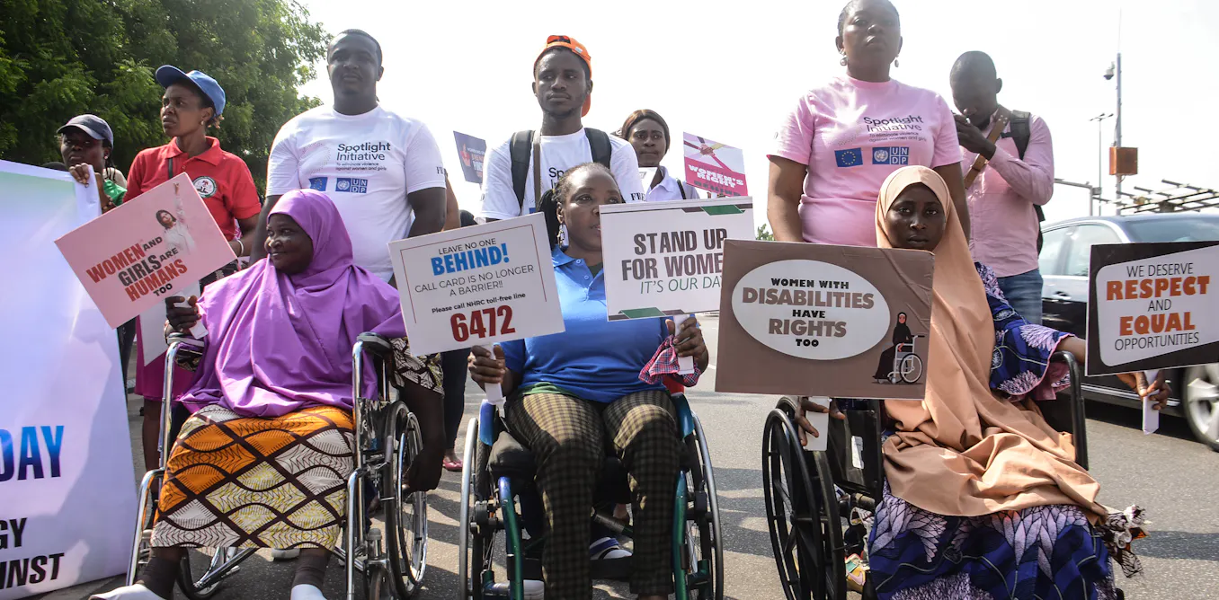
These three conditions presuppose that herders are heard. Ulaanbaatar marked progress, with the first official meetings of the caucus of indigenous peoples and that of local communities, and recognition of pastoralists as essential guardians of rangelands.
However, no dedicated pastoralism body was created, and rangelands appear in national climate plans of only 24 countries, compared with 181 for forests. On drought, parties deferred a decision to COP18, after an initial postponement in Riyadh.
Une décision qui appartient aux États
None of these three conditions depends on an international decision. Recognizing collective use rights falls to parliaments and land administrations.
Choosing indicators to judge restoration falls to national technical services. Including long-term observation in state budgets falls to finance laws.
The Hanlé case shows what their absence costs. Without clear rights, no one is authorized to treat the thickets.
Without adapted indicators, their progression is recorded as a gain in vegetation cover. Without continuous observation, the next project will reproduce the same diagnosis.
The next conference will be held in Egypt in 2028. That is the deadline East African countries have, and the question is not what they will ask for there, but what they will bring.
That is the only decision no one will make for them.
Source: The Conversation