

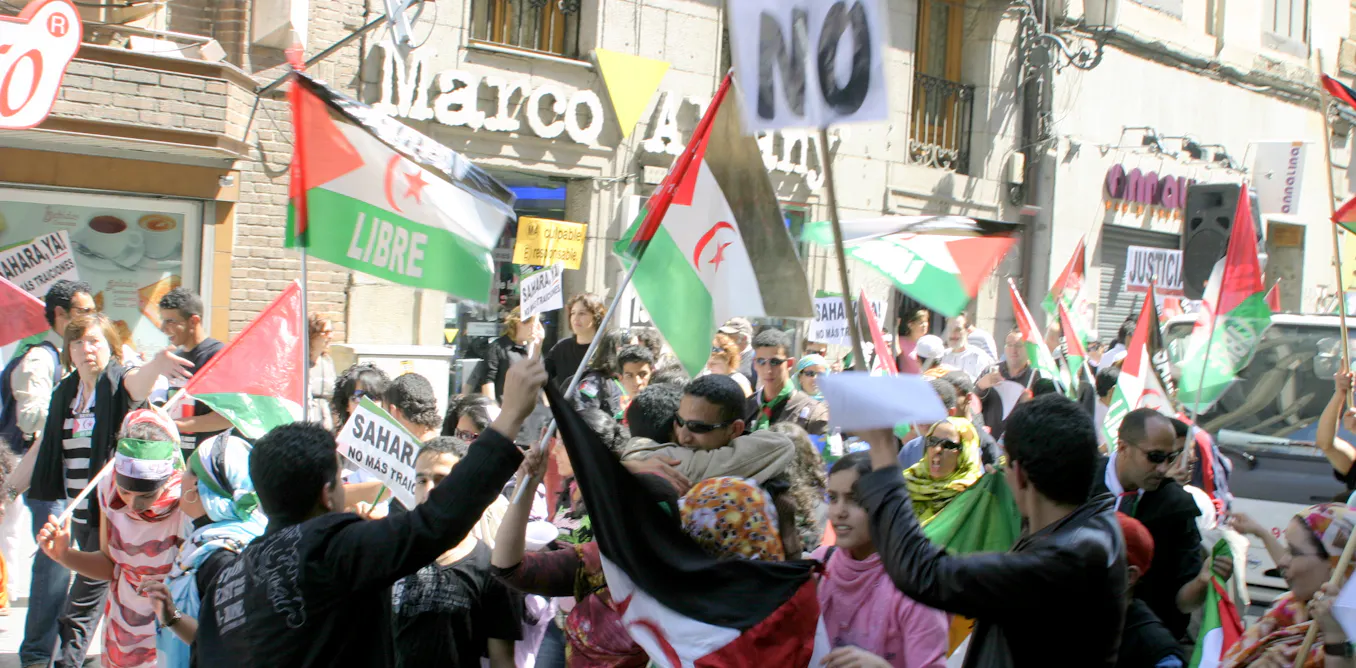
A 2,700-kilometre military barrier built by Morocco across Western Sahara in the 1980s still divides the disputed territory, and researchers say its most lasting harm may be ecological as much as political.
The wall, known as the Berm, separates the area Morocco controls from the strip held by the Polisario Front, a movement backed by Algeria that represents the Sahrawi people and has sought independence since the early 1970s.
What is the history of the Berm?
Built in stages between 1980 and 1987, the Berm runs alongside a belt of more than 10 million landmines, often described as the world’s longest continuous minefield. It is the longest continuous barrier after the Great Wall of China.
The Polisario Front currently controls about 20% of the territory.
The wall was constructed as Morocco fought the Polisario Front for control of Western Sahara, a former Spanish colony that Madrid handed over in the 1970s without holding the independence referendum international law required.
Writing for The Conversation, Joana Castro Pereira, a professor of politics and international relations, and postgraduate researcher Simón Pardo de Donlebún Versaci explain that the Berm allowed Morocco to keep the most valuable parts of the territory, including coastline, phosphate mines and towns, while pushing Polisario fighters and hundreds of thousands of Sahrawi civilians into refugee camps in Algeria.
The UN calls this the world’s second-longest-running refugee crisis. French and Israeli military strategists advised on the wall’s construction.
What major risks does the Berm pose?
Three kinds of harm are often overlooked amid the diplomatic dispute over the territory, according to the researchers.
The most direct is the minefield itself. The Landmine and Cluster Munition Monitor, a civil society research initiative that tracks landmines and other remnants of war, reports 1,427 recorded casualties through 2017, while noting that the total number is unknown.
Many mine-related accidents go unreported, and mines can be shifted by wind or flash floods into ground already cleared.
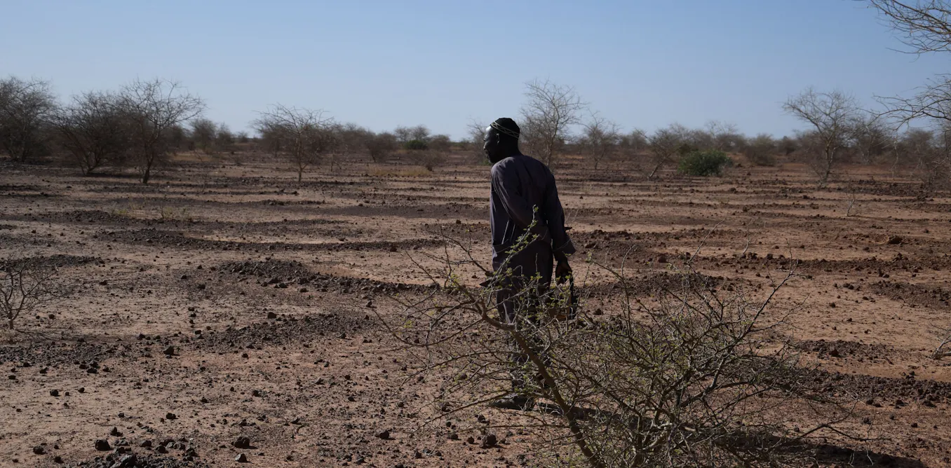
The wall also disrupts a desert ecosystem, not just a human community. Sahrawi pastoral life has always followed the wadis, the temporary rivers that flood briefly after rain and sustain wells, trees and grazing along their banks.
This moves people, herds and land together across the seasons in one relational system. On one side, the wall cuts through the seasonal watercourses on which the Sahrawi depend.
On the other, the embankment acts like a dam. Rainwater accumulates against it, and shrubs and grasses grow along its base.
This vegetation offers food and shelter, drawing animals towards the mines laid along the wall. The very conditions that should sustain life can instead direct it towards danger.
The mines’ victims are not only human: camels are also killed near the wall, while deaths among wild animals may go unrecorded. These deaths are harm in themselves, not simply damage to an empty landscape.
This dynamic resembles what ecologists term an ecological trap, in which a habitat conveys misleading signals about its own safety. The situation at the Berm differs in a crucial respect: here the trap is produced by military infrastructure.
The wall, the desert’s hydrological cycle and the minefields combine into a single lethal system.
The wall also cuts across the traditional grazing routes connecting wadis, with mines and unexploded ordnance restricting Sahrawi herders’ access to water sources that become available at different times of the year.
This disrupts an ancestral balance between Sahrawi communities and the desert, sustained through shared seasonal rhythms, grazing practices and inherited knowledge of routes. It is an interconnected way of life that forced settlement in the refugee camps is eroding.
Even dead branches are put to use rather than wasted, reflecting a careful stewardship of scarce desert resources that displacement is making increasingly difficult to maintain.
Almost nobody can study any of this independently since the Berm is a closed military zone.
Human Rights Watch has documented how tightly restricted access is, so there is no reliable count of animals killed, no complete contamination map, and no independent record of the damage, making accountability far harder.
What does the Berm mean today in the ongoing conflict between Morocco and Western Sahara?
The wall still marks the practical frontline of a conflict most of the world stopped watching.
A UN-brokered ceasefire held for nearly 30 years until November 2020. Moroccan troops entered a UN-monitored buffer strip to clear a road blockade by Sahrawi protesters and reopen traffic to Mauritania.
This prompted the Polisario Front to declare the ceasefire over and resume hostilities. Low-intensity fighting, mostly drone strikes and skirmishes along the wall, has continued since.
Diplomatically, the ground has shifted decisively in favour of Morocco, which has been on the rise economically and politically on the continent. The US recognised Moroccan sovereignty over Western Sahara in 2020.
Spain backed Morocco’s autonomy plan, which would offer Western Sahara autonomy but under its sovereignty, in 2022. France backed this plan in 2024 and the UK followed in 2025.
In October 2025, the UN Security Council passed Resolution 2797, inviting both sides to negotiate on the basis of Morocco’s autonomy plan without calling for the referendum on independence that is sought by the Polisario Front.
That resolution also requested a review of the future of the UN’s peacekeeping mission there, Minurso, while extending its mandate to October 2026.
The UN mission began in 1991 and was mandated to uphold the ceasefire agreed between Morocco and the Polisario Front.
The review could lead to a reduced UN presence, or even its withdrawal, affecting work that includes supporting demining and recording landmine incidents.
Whatever happens to the wall politically, questions remain about who is responsible for managing its lasting consequences for the people, animals and land around it.
Source: The Conversation
Comments